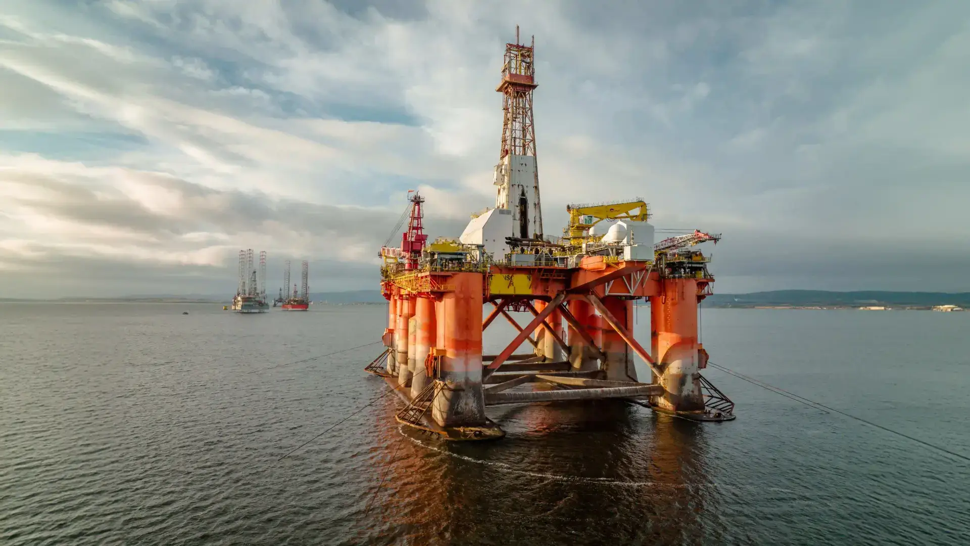
A ROV or underwater drone has many strengths compared to traditional inspection methods. The most important points are listed below:
- Cost-saving
- Safety
- Range and visibility underwater
- Data + data processing
Further on in this blog you will read exactly why an underwater drone is so good at collecting data and processing it.
Data-driven work is of great importance and will only become more important in the future.
Collecting data with an ROV
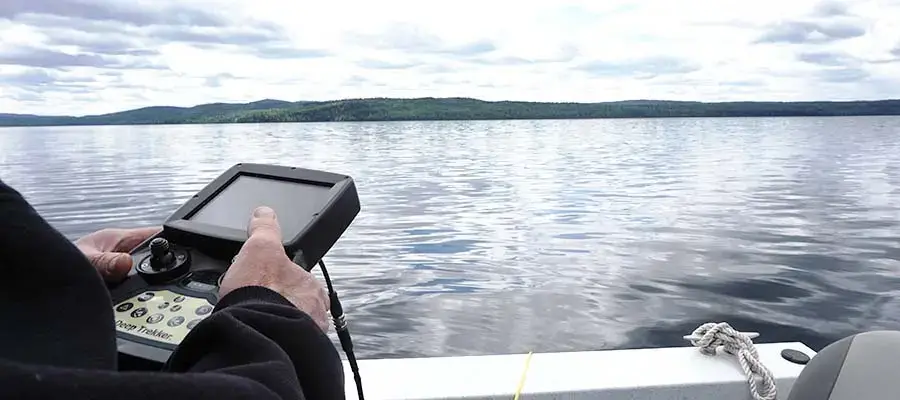
Data collection with an underwater drone is very easy! As soon as the drone is started up and in the water, you are already collecting data. All the images you take are automatically stored on an SD card. This includes both the camera and the sonar images.
All additional measurements that you can see on the controller are also included and stored. You can see at what height and angle the drone is underwater, which way the drone is facing (via a compass) and how far the camera is adjusted up or down.
This way you can always see everything exactly. By combining all the data, you get a total picture of the data, which you can use later for analyses and any follow-up steps.
Save and review the collected data
When your inspection is complete, you can remove the SD card from the controller and insert it into a computer or laptop. If you remove the images from the card immediately, you will be ready for the next inspection!
As soon as the images are on your computer, you have a large amount of raw data, i.e. all the images you have made are in it.
With all the raw data you can of course show a lot, but an inspection often revolves around a few highlights that will appear in damage reports. So you can easily edit, cut and paste the images in programs and make sure that all the highlights of the inspection are there.
Data processing
All data on the computer can be freely processed. All data and measurements made enable you to make a precise analysis of a possible problem and its extent. The camera images give a clear picture of what is happening to the asset underwater.
The sonar images can also be freely edited. You can increase the playback speed, zoom in on a possible anomaly and stop the images to take a closer look.

This is often what the sonar images look like in an analysis:
With all these possibilities, writing a damage report or a report is easy, and you have a lot of certainty because everything is based entirely on figures and measurements.
Don’t want to make a report because the sonar images are difficult to read? We can do that for you too! We have been analysing the images and processing them into a report for years!
Follow-up plans and periodic inspections
After the image analyses, you have been able to draw up a (possible) damage report, and a follow-up plan can be made.
If repairs are necessary, they can be carried out!
Perhaps the most important thing of all is the measurements and precise data you have obtained:
It is perfectly possible to inspect periodically. You know exactly at what height, depth and angle the damage was during the previous inspection. You can inspect these again some time later with the same inspection. This way, you can compare the images and accurately determine what the differences are and when action is really necessary!
Conclusion:
With an ROV, you can obtain precise data. You can analyse and process this data, draw up reports and carry out periodic inspections from here. With the data you have acquired, everything is a lot more precise, and you can always fall back on figures and data!
Would you like a demonstration to see how data is acquired and what it can be used for later? Then get in touch with us!
To keep up with the latest developments, follow our social media channels: